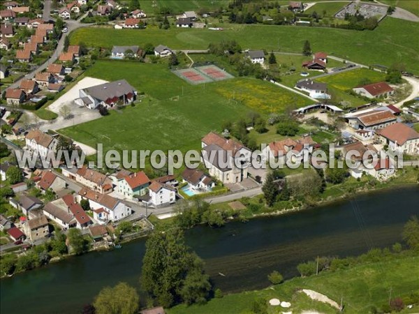
Bourguignon (Doubs)
Bourguignon is a commune in the French department Doubs in the Franche -Comté.
Geography
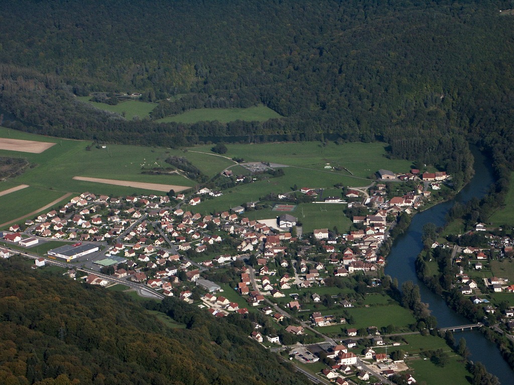
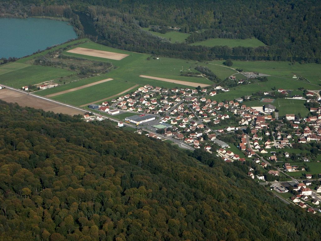
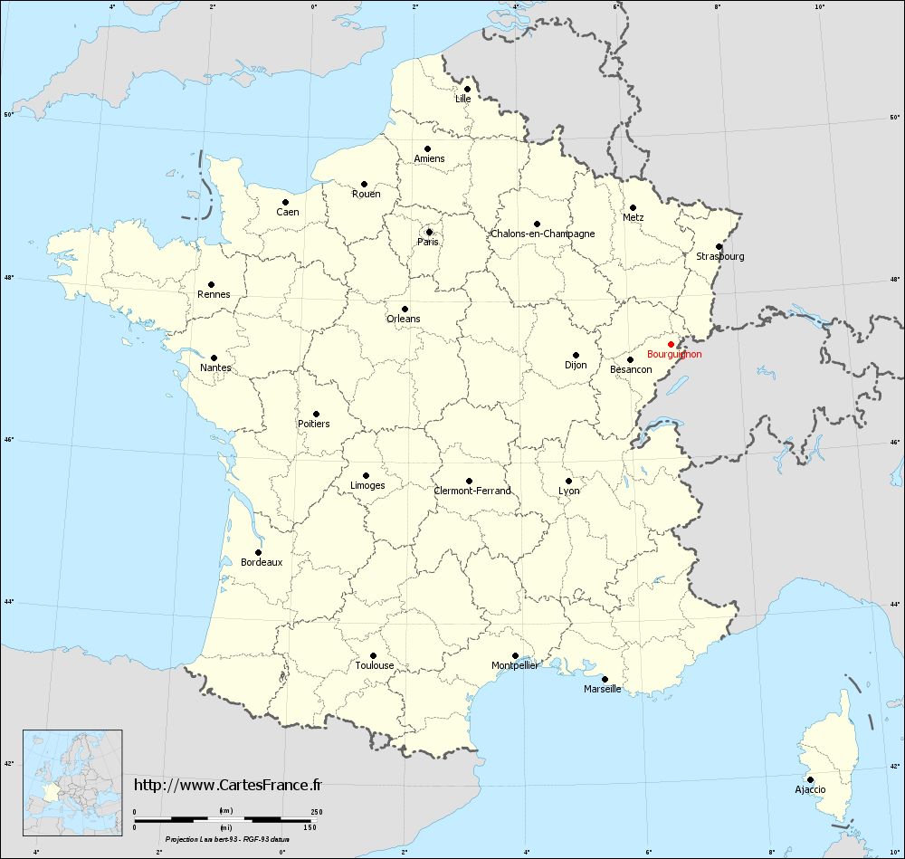
Bourguignon is at 343 m, 3 km north of Pont -de- Roide and about 11 km south of the town of Montbéliard (air line). The village is situated in the valley of the Doubs on the left bank of the river, in the northern French Jura between the heights of Grands Bois in the west and Chassagne in the east.
The area of 5.56 km ² municipal area includes a portion of the French Jura. The central part of the area occupied by the valley of the Doubs, the multi-turn here flows through a flat Talniederung of just over one kilometer wide north. Flanked the valley on both sides by steep slopes, which are traversed in different places of Kalkfelsbändern and divided by several gullies. To the east of the municipality extends to the bottom slope of Chassagne. To the west, the municipality's area extends to the Tabular Jura plateau of the Grands Bois, on the 554 meters, the highest elevation of Bourguignon is achieved. It is mostly forested ( Bois de Mont Pourrion ). Here arises the Ruisseau de Varembourg, flows through a erosion valley and leads to the village in the Doubs.
To Bourguignon the settlement Les Forges part (345 m) on the river Doubs on the southern outskirts. Neighboring communities of Bourguignon are Mathay in the north, and Mandeure Écurcey in the east, Pont -de- Roide in the south and Écot in the West.
History
The territory of Bourguignon was settled very early. The earliest evidence of human presence date back to the Neolithic period. Different wall foundations prove the existence of a Gallic fortress and a Roman villa. Furthermore, various coin finds were made.
In the Middle Ages Bourguignon belonged to the field of rule of Neuchâtel. Together with the Franche -Comté reached the village with the Peace of Nijmegen in 1678 to France. Around 1730, the ironworks were founded by Bourguignon on the Doubs, which developed into the village in the 19th century an important location of the iron industry.
Attractions
The three-nave church of Sainte -Anne was built in 1836 on the site of an earlier chapel in pseudo- Corinthian Stilformern. As the rectory today is a seat of power, with square tower, which was built in 1526. Among the buildings of the industrial age include the iron works (18th century) and the former station ( 19th century).
Population
With 957 inhabitants (as of 1 January 2011) Bourguignon is one of the small communities of the department of Doubs. Once the population has consistently had in the first half of the 20th century in the range between 400 and 600 people, a significant population growth has been recorded since the early 1960s.
Economy and infrastructure
Already in the course of the 19th century, Bourguignon developed into an industrial site. Today, a company established in the area of metal processing as well as various operations of small and medium enterprises. Meanwhile, the village has also changed into a residential community. Many workers are therefore commuters who do their work in the larger towns in the area and agglomeration in Montbéliard.
The village has good transport links. It lies on the main road D437 which leads from Montbéliard via Pont -de- Roide after Morteau. The nearest links to the A36 motorway is located at a distance of about 6 km. In 1886, inaugurated the railway line from Montbéliard to Pont -de- Roide now serves only to freight. A bus line that runs from Montbéliard to Maîche, Bourguignon connects to the network of public transport.
Berche | Bourguignon | Colombier- Fontaine | Dambelin | Dampierre -sur -le- Doubs | Écot | Étouvans | Feule | Goux -les- Dambelin | Mathay | Neuchâtel- Urtière | Noire Fontaine | Péseux | Pont -de- Roide | Rémondans -Vaivre | Rosières- sur- Barbèche | Solemont | Valonne | Vernois- lès- Belvoir | Villars -sous- Dampjoux | Villars -sous- Écot
- Municipality in the department of Doubs
- Place in Franche -Comté

