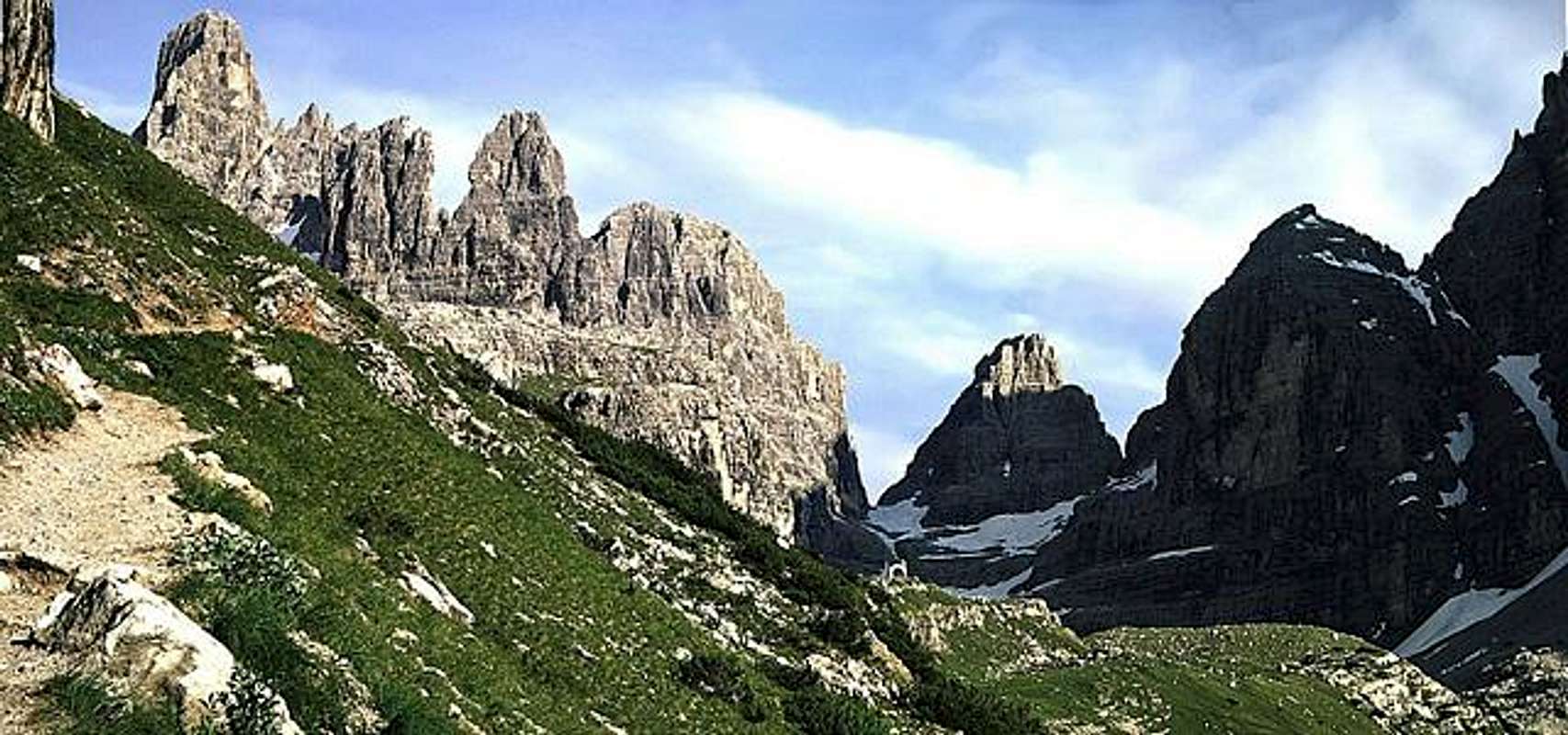
Brenta group
Dep1p1f1dep2p5
The Brenta is a mountain range of the Southern Limestone Alps in northern Italy. It lies east and north of the Adamello mountain lake.
For the group, the name Brenta Dolomites is ( Dolomiti di Brenta ) used because they are mainly expected in the Italian literature of the Dolomites, although they are located west of the Adige Valley.
Geology
The forming rocks of the Brenta is the extremely hard Hauptdolomit under consideration in this mountain range in thickness up to about 1000 meters. When alpidic orogeny of this sedimentary rock was not arched as in limestone or shale, but broken, the area gave the rugged character with its vertical towers and massive rock walls. The main dolomite has about 40 to 50 meters on thick layers of different dolomite rock that forms by different weathering the horizontal or slightly inclined distinctive bands. These bands made possible only by their walkability the tourist development of the Brenta in the 19th century.
Landscape
The highest peak is the Cima Tosa ( 3173 m slm ). Another striking rock tower is the Campanile Basso detached ( 2883 m slm, also: Guglia di Brenta ). Are interesting tourist valley town of Madonna di Campiglio, Lake Moveno ( Malfein Lake) and Lake Tovel, which was known because he by algae took an intense dark red color in the warm summer months to the 1960s.
The Brenta is part of the Natural Park Adamello - Brenta Nature Park and UNESCO World Heritage Dolomites.
Significant peaks
(from north to south)
- Pietra Grande, 2,936 m
- Cima del Grostè, 2,898 m
- Cima Falkner, 2,988 m
- Cima Sella, 2,917 m
- Cima Brenta ( until 1918 Kaiser- Franz- Josef's tip), 3.151 m
- Torre di Brenta, 3,014 m
- Campanile Basso ( Guglia di Brenta ), 2,883 m
- Cima Brenta Alta, 2,960 m
- Crozzon di Brenta, 3,135 m
- Cima Tosa, 3,173 m
- Cima d' Ambiez, 3.102 m
Mountain cabins
- Rifugio Peller, 2,022 m
- Rifugio Graffer, 2,261 m
- Rifugio Grosté
- Rifugio Tuckett, 2,268 m
- Rifugio Brentei, 2,120 m
- Rifugio Alimonta, 2,600 m
- Rifugio Pedrotti, 2,496 m
- Rifugio Tosa
- Rifugio Agostini, 2,410 m
- Rifugio XII Apostoli, 2,489 m
Via ferrata
The mountain is known as a climbing area. Characteristic are the bands of rock, on which several climbing routes, such as the famous Bocchette - way ( sections sentiero Benini, sentiero Bocchette Old, sentiero Bocchette Centrali ) along lead.
- Sentiero Alfredo Benini ( from Grostè Tuckett Pass to Pass )
- Sentiero Bocchette Old (from the Bocca di Tuckett Bocca degli Armi )
- Sentiero Bocchette Centrale (from the Bocca degli Armi Bocca Brenta )
- Via Bocchette, sentiero SOSAT (from the Tuckett hut to hut Brentei and the Alimonta Hut Bocca degli Armi )
- Sentiero Orsi (from the Tuckett Hut to Pedrotti-/Tosa-Hütte )
- Sentiero Ettore Castiglioni (from Agostini to Rifugio XII Apostles hut)
Photo Gallery
The Brentei hut in the Brenta, about Crozzon di Brenta with the Cima Tosa - ice channel
Rifugio Alimonta, 2600 m, Brenta
View from the Becco degli Armi ( 2,749 m) to the southeast
Group of climbers on the sentiero Bocchette Centrale, in the background Guglia ( Campanile Basso)


