Champvans, Haute-Saône
Champvans is a commune in Haute -Saône in the Franche -Comté.
Geography
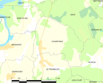
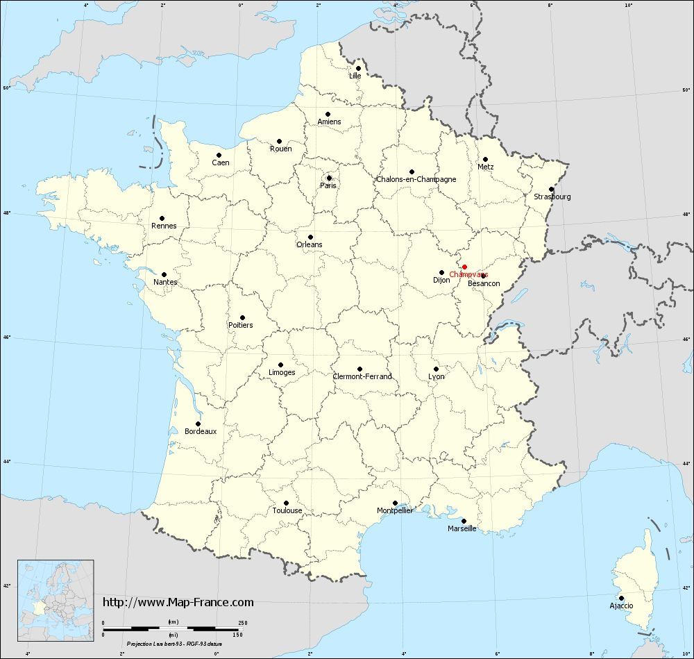
Champvans situated at an altitude of 199 m above sea level, 6 km south of Gray and about 38 km west-northwest of the city of Besançon ( straight line ). The village is located in the southwest of the department, at the edge of the plain of Gray in the Talniederung the Tenise on the western edge of the Forêt des Hauts Bois.
The area of 7.15 km ² municipal area includes a portion of the gently undulating countryside between the valleys of the Saone in the north and in the south Ognon. From south to north the area is crossed by the Talniederung the Tenise, which provides for drainage Saône. The valley is flanked by a plateau, which lies on both sides on average 210 m. It is divided by the small valley of various short tributaries of Tenise. The plateau is composed of sediments of the Tertiary and upper Jurassic period and is partly used for agriculture, partly it is passed by forest. To the east, the municipality's area extends into the grove of the Forêt des Hauts Bois. With 246 m find the highest mountains of Champvans is achieved.
Neighboring communities of Champvans are Gray in the north, Noiron in the east, Le Tremblois in the south and Apremont and Esmoulins in the West.
History
Is first mentioned in the year Champvans 1225th In the Middle Ages the village belonged to the Free County of Burgundy and in the territory of the Bailliage d' amont. The local government had initially the family Vergy, from 1450, the family held Vaudrey. 1595 a large part of the village by troops of Marshal Charles de Gontaut was destroyed. Together with the Franche -Comté Champvans came with the Peace of Nijmegen in 1678 definitively to France. With the inauguration of the railway line from Marnay by Gray in 1910 the village was connected to the French railroad network. The operation of the line, however, was reinstated. Today Champvans is a member of the 16- villages municipal association Communauté de communes du Val de Gray.
Attractions
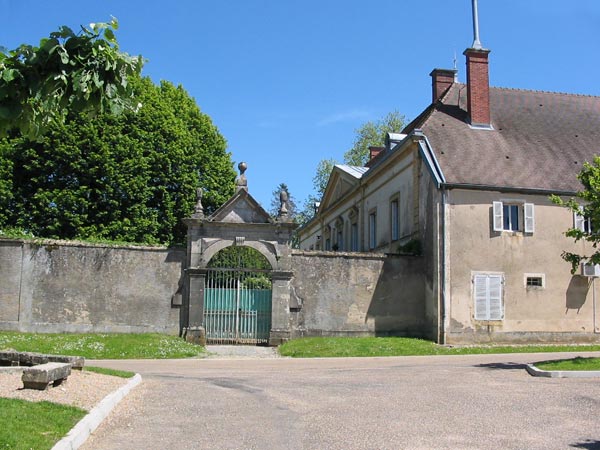
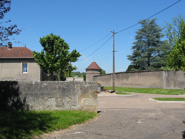
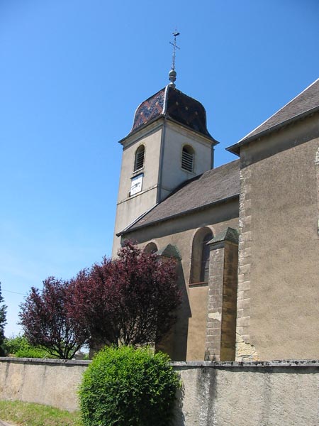
The church of Saint -Pierre -et -Paul was built in the 18th century and has a rich interior of this period. In a large park stands the castle, which originally dates from the 17th century, but was later remodeled several times.
Population
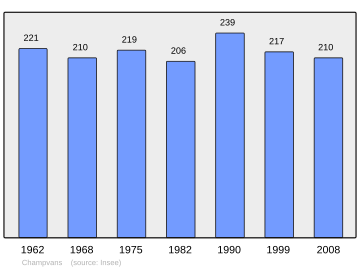
With 217 inhabitants ( 2006) Champvans one of the small towns in the Haute- Saône. After the population had decreased in the first half of the 20th century (1891 281 persons were still counted ), only small fluctuations were recorded since the early 1960s.
Economy and infrastructure
Champvans has long been a predominantly by agriculture (crops, orchards and livestock ) and forestry embossed village. Today there are various businesses of the local small business sector. In recent decades the village has been transformed into a residential community. Many workers are therefore commuters who engage in the larger towns in the vicinity of their work.
The village has good transport links. It lies on the main road D475 which leads from Gray to Dole. Further road links exist with Germigney, Apremont, Esmoulins and Noiron.

