Auriol, Bouches-du-Rhône
Auriol is a French municipality with 11,886 inhabitants (as of January 1, 2011 ) in the department of Bouches -du -Rhône in the Provence- Alpes- Côte d' Azur.
Geography
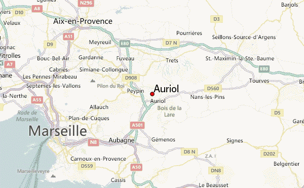
The municipality is situated approximately 25 kilometers north-east of Marseille and around twelve kilometers north of Aubagne. The town is crossed by the Huveaune.
Neighboring communities of Auriol are La bouilladisse in the north, Trets in the Northeast, Saint -Zacharie in the east, plan d'Aups -Sainte -Baume (both Var ) in the southeast, Gémenos in the south, Aubagne in the southwest and La Destrousse in the northwest.
History
The river Huveaune provided the basis for agriculture in the area of today's Auriol. Even in ancient times here was a thriving city. The Treasure of Auriol from the year 480 BC, tells of the time. Later was the site of a senior living Roman veterans. The place was first mentioned 814 under the name Le Polodium. 1576-1584 took over the city establishes a plague. 1697 first appeared on the coat of arms of the city. By 1700, she had 5,000 inhabitants. Then came a new plague that fell population. As it rose again in the 19th century, the growth was the establishment of the municipality of La bouilladisse reset.
Culture and sights
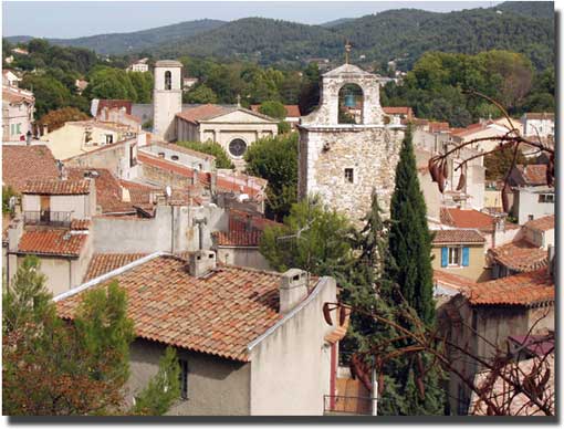
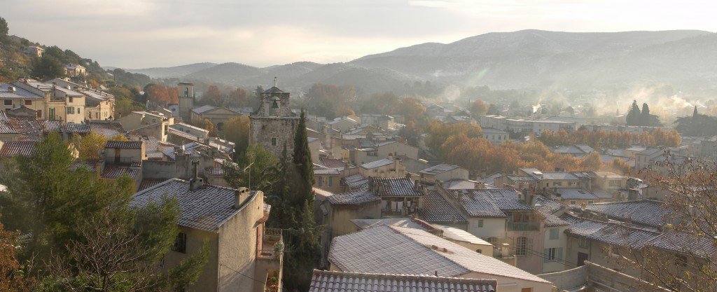
- Bell tower from the 17th and 18th centuries
- Clock Tower
- Chapel Sainte Croix
Economy and infrastructure
For Auriol, there is a highway junction, where the A520 meets the A52. The A520 ends here after only three kilometers. It begins near the center of Auriol. Thus, the place has a quick access routes to Marseille.


