Corbonod
Corbonod is a commune in the French department of Ain, in the Rhône -Alpes. The municipality is located in the district Gignez.
Geography
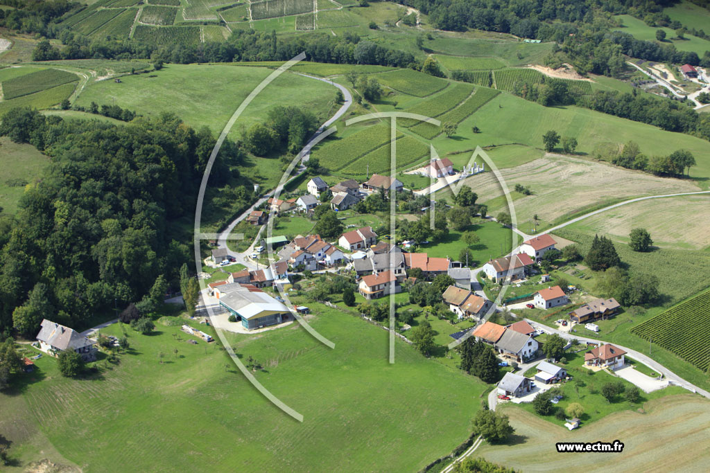
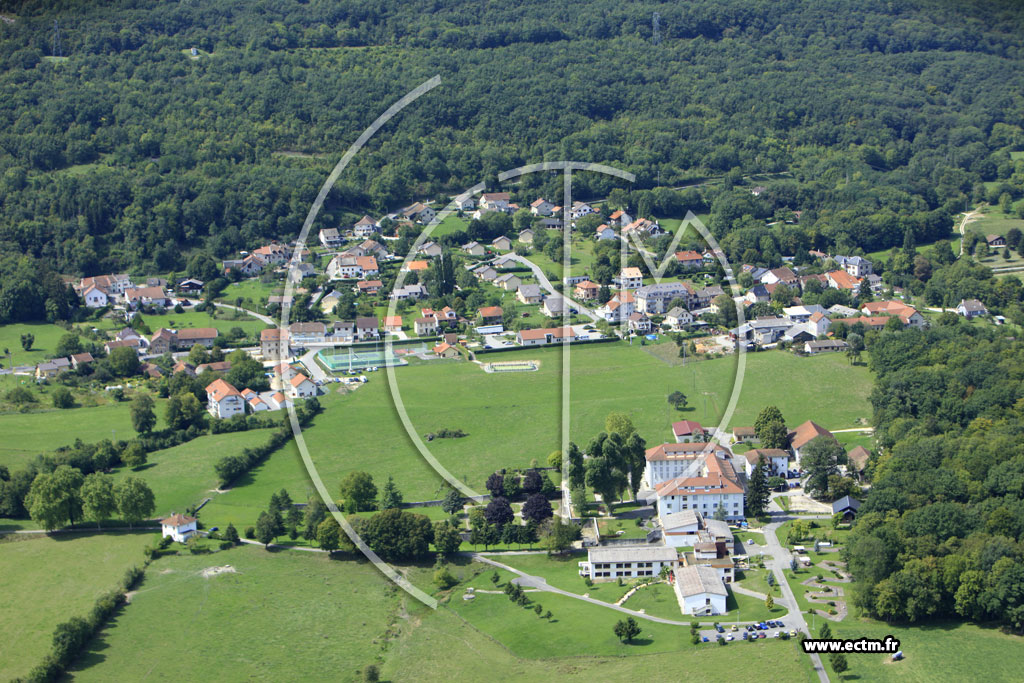
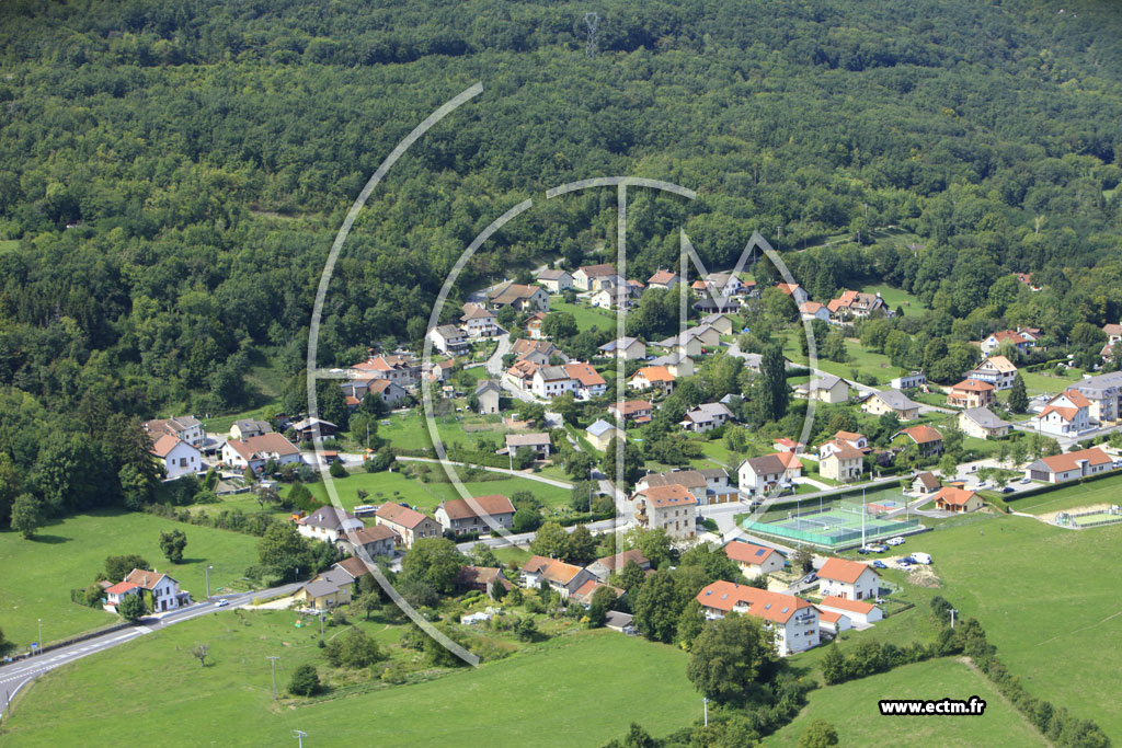
Corbonod is located at 350 m above sea level. M., above Seyssel, about 16 kilometers south of the town of Bellegarde -sur -Valserine (air line). The village stretches a scenic location on a plateau at the eastern foot of the Jura ridge, north stretches from Grand Colombier to the Cret du Nu, about 100 m above the valley of the Rhone.
The area of 31.59 km2 municipal area includes a portion of the Rhone Valley. The eastern part of the municipality is occupied by the plateau of Corbonod that on average 350 meters above sea level. M. lies. It falls from the east with a steep slope and is broken down by the valleys of short tributaries of the Rhône. The eastern boundary runs along the Rhône, which flows here in an open Talniederung from north to south. Below Corbonod the Rhone by a Dam ( Barrage de Seyssel ) is dammed.
To the west, the municipality's area extends over the steep and mostly densely forested slopes of the Jura to the subsequent ridge of the Grand Colombier. Geologically, this ridge forms a anticline consisting of sediments of the upper Jurassic period. In the north, the boundary is marked by the erosion valley of Dorche. Above approximately 1200 m above sea level. M. extend wide plateaus, which are mainly used as a mountain pastures. With 1363 m above sea level. M. is achieved the highest elevation of Corbonod in the range of Lyand Sur (viewpoint).
To Corbonod addition to the actual site includes several different villages, hamlets and farmsteads, including (in order from north to south ):
- Orbagnoux (420 m above sea level. M. ) south of the Taleinschnitts Dorche
- Puthier (410 m above sea level. M. ) on the plateau at the Jurafuß
- Siland (390 m above sea level. M. ) on the plateau at the Jurafuß
- Étranginaz (380 m above sea level. M. ) on a ridge in the area of the Vallon de la Combe
- Eilloux (300 m above sea level. M. ) on the western flank of the Rhône
- Gignez (370 m above sea level. M. ) on the plateau at the Jurafuß, the largest village in the municipality of
- Fontaine (390 m above sea level. M. ) on the plateau at the Jurafuß
- Charbonnière (430 m above sea level. M. ) on the lower east slope of the Grand Colombier
Neighboring communities of Corbonod Chanay are in the north, Bassy, Seyssel (Haute- Savoie) and Seyssel (Ain ) in the east, the south and Anglefort Lochieu, Brénaz and Songieu in the West.
History
The territory of Corbonod was already inhabited during the Roman period, after which various discoveries point. In the Middle Ages Corbonod was part of the rule Seyssel, but gave it up to today's communal land also land that belonged to other gentlemen. The Treaty of Lyon reached the village in 1601 to France.
Attractions
The parish church was built in Gothic Corbonod of styles. From 1721 comes the newly built at that time in front of the portal bell tower. In several villages characteristic furnace houses are to be found. In Siland are the ruins of a medieval castle.
Population
With 1190 inhabitants (as of 1 January 2011) Corbonod one of the small communities of the department of Ain. After the population had decreased significantly in the first half of the 20th century, only relatively small fluctuations in population were recorded since the early 1960s. It was not until in the last years thanks to the attractive location again a strong population growth.
Economy and infrastructure
Corbonod was until well into the 20th century a predominantly coined by farming village. Still plays the vineyard on the slopes to Corbonod an important role as a source of income for locals. The documents belong to the protected designation of origin Seyssel since 1942 and are mainly for the cultivation of the white grape variety used Altesse that is prescribed for the Seyssel still wines. Of the 23 farms (2012 ) provide winemakers the most part. There are also some plants of the local small business sector. Meanwhile, the village has also changed into a residential community. Many working population commuters who engage in the larger towns in the vicinity of their work.
The village region has a quite well developed. It lies on the secondary road D991 which leads from Seyssel Châtillon -en- Michaille. Further road links exist with Culoz and over the Col de la Biche with Brénaz. The nearest links to the A40 motorway is located at a distance of around 25 kilometers.
The degraded in the mine Orba shale was processed from 1964 to 2011 in Reith bei Seefeld to Ichthyology.


