Auengrund
Auengrund is a municipality in the district of Hildburghausen in Thuringia.
- 3.1 municipal
Geography
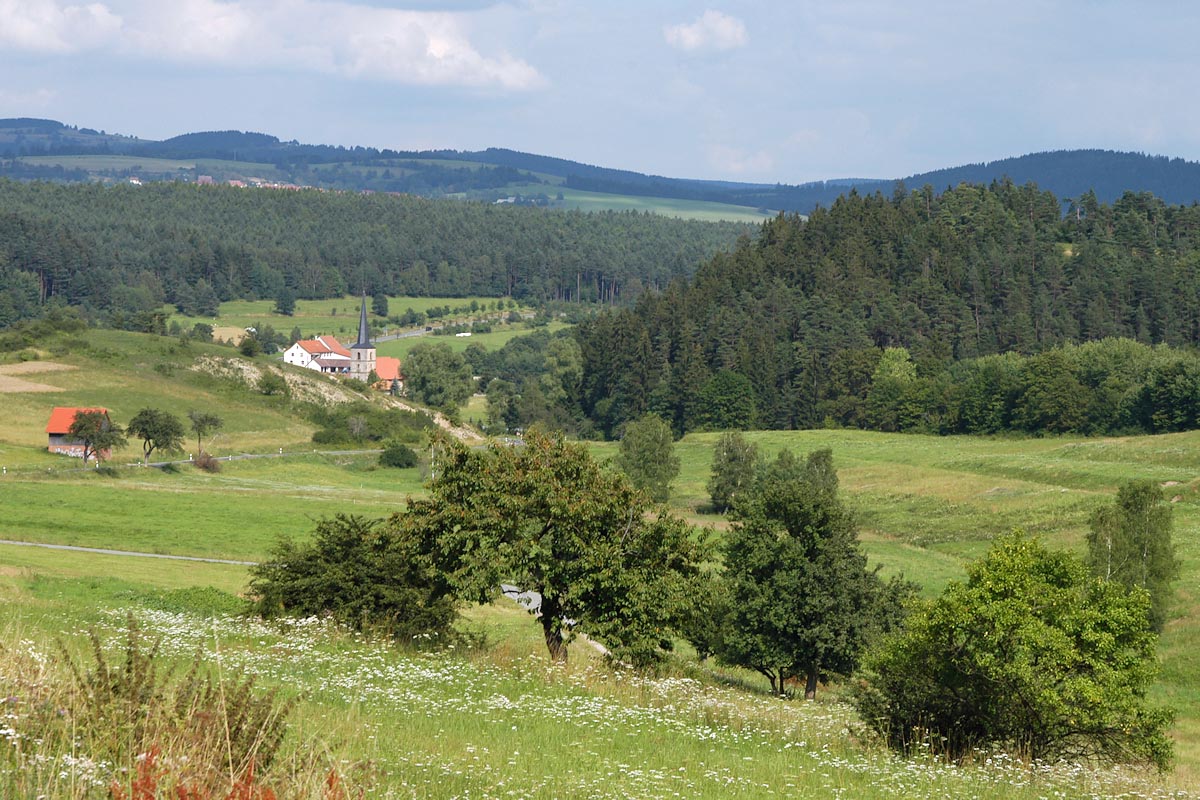
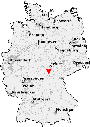
The municipality is located on the southwestern edge of the Thuringian Slate Mountains, where this Thuringian Forest from the actual shows, between the small towns Schleusingen ( in the northeast ) and ice rink ( in the southwest ), and the county town of Hildburghausen in the West. North to northeast to include ( in order) to the municipalities Nahe -Waldau, lock reason and Masserberg.
For fulfilling community Auengrund heard the church Brno / door. in the south.
Striking elevations of the community are the Solaberg at Poppenwind ( 577 m ) with its partly cleared secondary peaks Maple Mountain (532 m, at Brattendorf ) and lock mountain ( 531 m, at Wiedersbach ), the Priemäusel (625 m) at Brattendorf and its northern neighbor, the on the southwest side ( on which the district is located Merbelsrod ) largely deforested Wachberg (621 m). The south-east towards the Priemäusel subsequent blade mountain ( 677 m) is located at the border to the town ice rink or to the district Waffenrod / Hinterrod and provides a pre- summit of still significantly higher Grendel ( 787 m ) and the Eselsberg ( 841.5 m) dar.
Almost all districts lie at altitudes of about 450 m above sea level; only Wiedersbach is good with 400 meters a little deeper, Upper wind ( 490-530 m) and Merbelsrod ( 520-580 m) on slopes slightly higher.
Community structure
Quarters are:
- Brattendorf
- Crock
- Merbelsrod
- Oberwindaustraße
- Schwarzenbach
- Poppenwind
- Wiedersbach
History
The unit community was formed on 1 January 1996.
Policy
Parish council
The local council in Auengrund consists of 16 councilors.
- FW 5 seats
- CDU 3 seats
- FFwS 2 seats
- WG clubs 2 seats
- HL 2 seats
- The left 2 seats
(As at municipal election on June 7, 2009)
Dialect
In Auengrund is Itzgründisch, a main Franconian dialect spoken.


