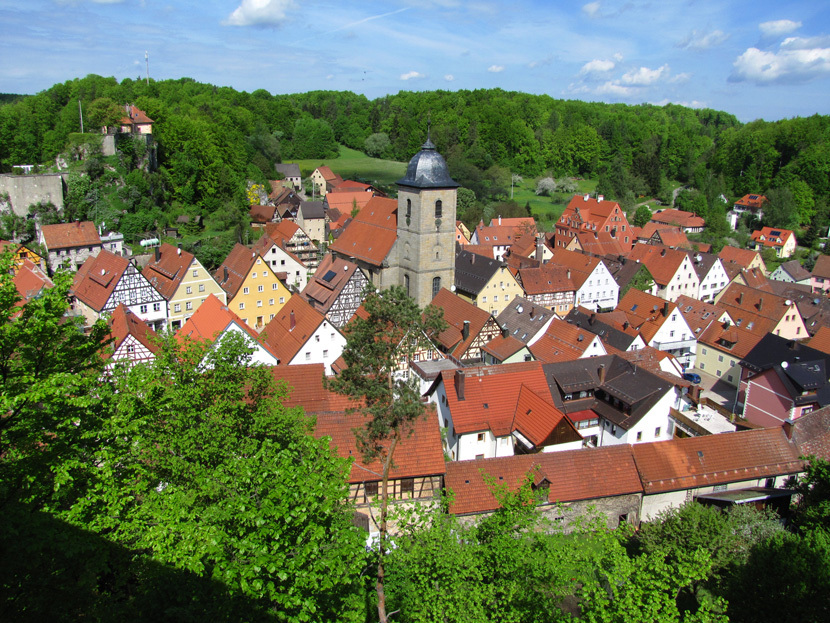
Betzenstein
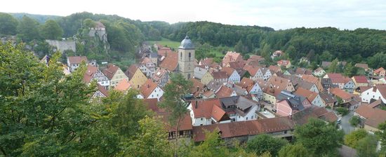
Betz stone is a town in the Upper Franconian district of Bayreuth and the seat of the administrative community Betz stone.
- 3.1 locking block
- 3.2 Amalgamations
- 4.1 Mayor
- 4.2 City Council
- 5.1 Museum
- 5.2 Structures
- 5.3 Nature
- 5.4 Sports
Geography
Geographical Location
Betz stone is located in the Franconian Switzerland Nature Park.
Neighboring communities
The following communities, starting from the north clockwise, are: Pegnitz, Plech, Velden, Kirchensittenbach, Schnaittach, Simmelsdorf, Hiltpoltstein, Obertrubach pot and stone.
Places in the community
The city is divided into 23 districts:
- Old meadows
- Betz stone
- Eckenreuth
- Eibenthal
- Eichenstruth
- Hetzendorf
- Blenheim
- Envelope
- Hunger
- Illafeld
- Klausenberg
- Kröttenhof
- Leupoldstein
- Mergners
- Münchs
- Ottenberg
- Reipertsgesee
- Locking block
- Schermshöhe
- Spies
- Stierenberg
- Waiganz
- Weidensees
Management community
The city Betz stone forms with the community Plech administrative matters.
History
Betz stone was in 1187 with Frederick Betz stone first documented and collected by the Emperor Charles IV in 1359 to the market. Emperor Maximilian II brought 1611 Betz stone to the city. From 1505 until the integration to Bavaria in 1806 Betz stone belonged to the territory of the city of Nuremberg, which was in the Frankish Empire Circle from 1500. see also Betz stone castle
Nearby hops were grown until the 20th century. The leading on the hop world market Barth family has its roots in Betz stone. The main house with its typical hop kilns in the steep gabled roof is still in its marketplace. Also of great importance was the end of the 19th century, the iron ore mining.
Locking block
Locking block (see also ruined castle locking block ) was originally Raupersdorf. It was first documented in 1403 renamed after the men's door latch ( also Dürriegel ) who called themselves from then on the locking block. The door bars were Ministeriale cupbearer of Reicheneck and said to themselves with an extensive property to bolt block away from the taverns. From 1403 they were allodial. Latches Steiner line died 1619, only the Mitter Felser branch still exists and was called after 1665 only Thürrigl, or Dirrigl and with similar spellings.
Incorporations
On January 1, 1972, the formerly independent communities Leupoldstein, Ottenberg, Spies, Stierenberg and Weidensees were incorporated.
Policy
Mayor
Mayor 's Claus Meyer ( CDU).
City council
After the last municipal election on March 2, 2008, the City Council has 14 members. The turnout was 75.0 %. The choice was as follows:
Another member and chairman of the city council is the mayor.
Culture and sights
Museum
Structures
- Protestant parish church, built 1732-1748
- Deep Well in a half-timbered house in the lower market square, 92 feet deep, built 1543-1549 as Radziehbrunnen, served for centuries the water supply
- Parts of the former city wall with two gates ( Back gate and the lower gate)
- Former Pflegamtsschloss, built 1669-1670 ( privately owned )
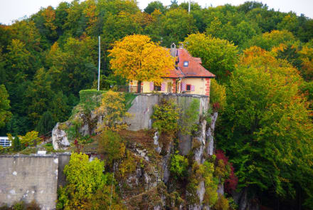
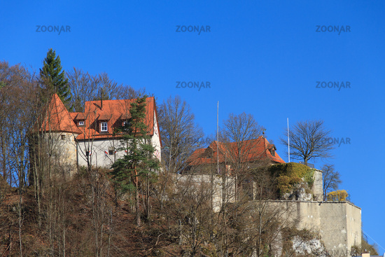
- Two castles ( privately owned, not accessible)
- Schmidberg system with observation tower
See also: List of monuments in stone Betz
Nature
- The Jura Elephant at Taurus Mountain, a limestone rock with elephant -like appearance.
- The Klaus Church; a thirty -meter-long cave passage by the lido Betz stone ( Geotop number 472H004 ).
- The Great Wasserstein; a natural monument with passage cave (water stone gate ) and large rock overhang.
- Rock arch and cave system in the reef south of Leupoldstein.
Sports
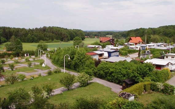
In winter a cross-country network is south of the city set up in appropriate weather conditions.


