Chaucenne
Chaucenne is a commune in the French department Doubs in the Franche -Comté.
Geography
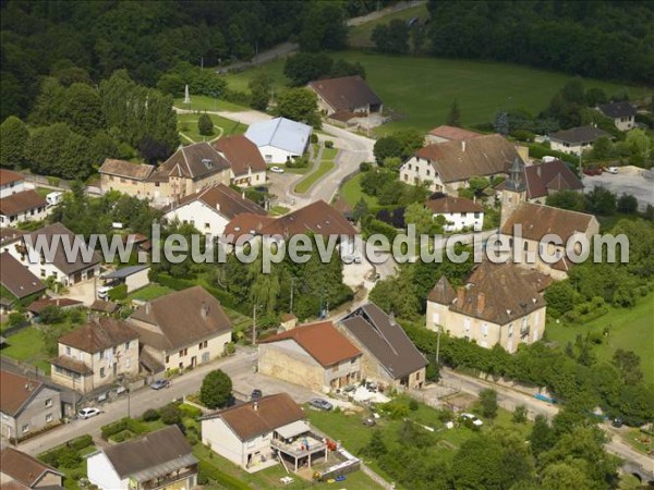
Chaucenne is located on 222 m, 11 km west-northwest of the city of Besançon ( straight line ). The village is located in the wide valley of the Lanterne in the gently undulating countryside between the rivers of Doubs in the south and in the north Ognon.
The area of 4.88 km ² municipal area includes a section south of the Ognon. The central part of the area occupied by the Talniederung the Lanterne, which provides for the drainage to the north- west to Ognon. The south-eastern boundary runs in the gorge at the Château d' Uzel. Flanked the valley of the Lanterne on both sides of extensive forests, namely the Bois du Grand Bugnoz in the Northeast and the Bois des Fouchères in the West. On a hill east of the village is the highest elevation of Chaucenne is achieved with 262 m.
Neighboring communities of Chaucenne are Moncley in the north, Pelousey in the east, Pouilley -les -Vignes and Noironte in the south and Émagny in the West.
History
Is first mentioned Chaucenne in 1134 under the name Chalcina. In the course of time the spelling on Chacenne, Chaulsenne and Chaussenne changed to the present name. In the Middle Ages had the Abbey of Saint -Paul in Besançon and various reigns of the environment ( Marnay, Corcondray and Dompery ) land ownership and rights on the current municipal area. Together with the Franche -Comté reached the village with the Peace of Nijmegen in 1678 definitively to France.
Attractions
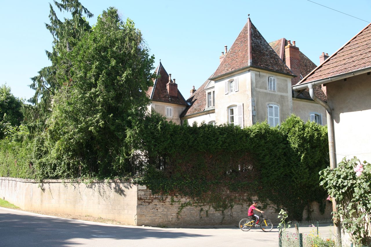
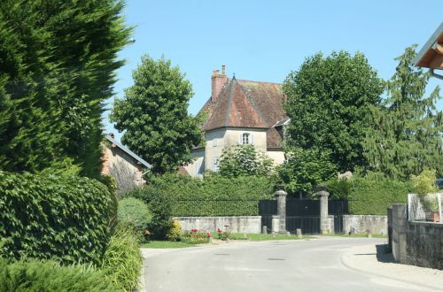
The three-nave church of the village Chaucenne was built in 1743. In the churchyard is a Calvaire from the 16th century. From the 19th century, the Château de Chaucenne, which is surrounded by a large park dates. The Moulin de Jéricho formerly operated with the water power of the Lanterne.
Population
With 538 inhabitants (as of 1 January 2011) Chaucenne one of the small communities of the department of Doubs. Once the population has consistently had in the first half of the 20th century in the area of 110-160 people, a striking population growth was recorded since the early 1970s. Since then, the population has more than tripled.
Economy and infrastructure
Chaucenne was until well into the 20th century a predominantly by agriculture (crops, orchards and livestock ) embossed village. Today there are various companies of small and medium enterprises, mainly in the sectors of transport and construction. Meanwhile, the village has also changed into a residential community. Many workers are therefore commuters who engage in the agglomeration Besançon their work.
The village is located off the major thoroughfares on a secondary road, leading from Pouilley -les -Vignes after Émagny. The nearest links to the A36 motorway is located at a distance of about 9 km. Further road links exist with Noironte, Moncley and Miserey - Salines.


