Auribeau
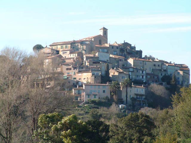
Auribeau is a commune with 75 inhabitants (as of January 1, 2011 ) in the Vaucluse department in the Provence- Alpes- Côte d' Azur.
Geography
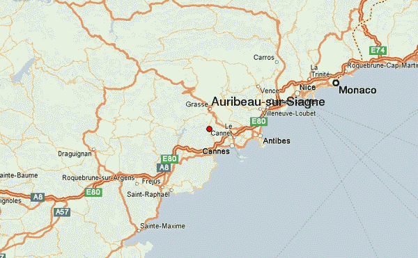
Auribeau is located approximately seven miles southeast of the town of Apt. Neighboring municipalities are Sivergues, cucuron, Cabrières- d'Aigues, Castellet and Saignon.
In the southeast of the community, the Mourre Nègre, which is the highest peak of the Luberon Mountains, with 1,125 meters above sea level rises. The municipal area stems from the River Aigue Brun, which flows into the Durance after 23 kilometers in length.
Traffic
Through the village, the route Auribeau Departmental D48.
History
Auribel was first mentioned in 1158 and was originally developed by a small attachment and a Romanesque chapel around. In the 14th century the town was abandoned by the inhabitants and repopulated 200 years later at the site of the present village.
Demographics
Policy
In the French presidential elections of 2002 the left-wing politician Olivier Besancenot (LCR ) won 38% of votes by far the best result in the first ballot. In 2007, he lost a few votes, but ended up with Nicolas Sarkozy ( 25.42 %) just behind the socialist presidential candidate Segolene Royal ( 27.12 %).
Mayor since 2001 is to the left of the choice spectrum ( DVG ) scoring politicians Guy Jussian.
Attractions
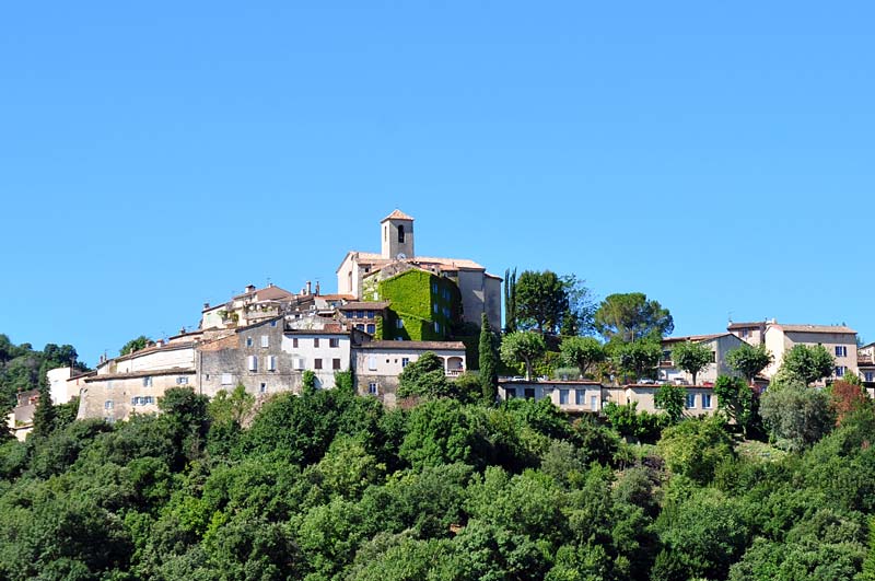
The small parish church of St- Pierre -et -St- Paul was built in the early 18th century. Before listening to the inhabitants their show in Castellet, Saignon or in the former chapel. The church has a beautiful crib with crib figures from the 18th and 19th centuries. Its bell tower, provided with two arched openings on the west facade, wearing a bell from 1732, which was donated by a galley captain.
From the medieval village of parts of the Donjon, remains of Walling, some medieval houses and the chapel of St- Pierre are still preserved. The buildings were subjected in the 1990s restoration.


