Breza, Bosnia and Herzegovina
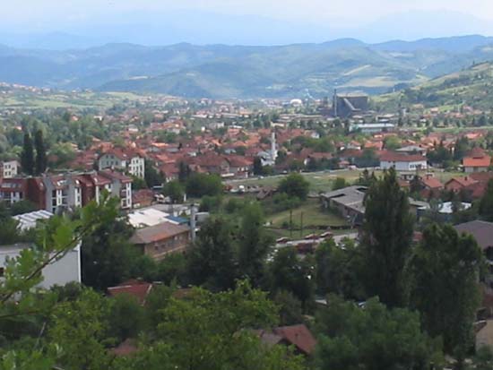
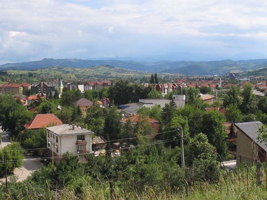
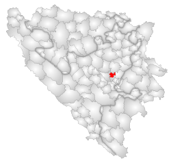
Breza (Cyrillic Бреза ) is a small town in central Bosnia and Herzegovina. It is the capital and administrative center of the homonymous municipality in the Zenica-Doboj Canton of the Federation of Bosnia and Herzegovina.
History
In Roman times, this area was in a fortified settlement called Hedum Castellum. Under its present name Breza was first mentioned in 1436. From 1930 to 1936, the Serbian Orthodox Church of the Holy Great Martyr was built Prokopios in the city.
From the Bosnian War, the municipality was only affected to a small degree.
Geography
The town of Breza is located at 495 m altitude in the valley of the Stavnja, a right tributary of the Bosna. East of the city extends the mountain Čemerska planina, which rises up to 1,466 m in Dernek.
Neighboring municipalities are Ilijaš, Vareš and Visoko.
Population
At the 1991 census, the municipality of Breza had 17,317 inhabitants.
- Bosniaks: 13,079 ( 75.52 %)
- Serbs: 2,122 ( 12.25% )
- Croats: 851 (4.91 %)
- Yugoslavs: 1,001 (5.78 %)
- Other: 264 (1.54 %)
In the city proper lived 4,121 people.
- Bosniaks: 1,671 ( 40.54 %)
- Serbs: 885 ( 21.47 %)
- Croats: 653 ( 15.84 %)
- Yugoslavs: 746 ( 18,10 %)
- Other: 166 (4.05 %)
The municipality covers 28 locations: Banjevac, Breza, Bukovik, Bulbušići, Gornja Breza, Izbod, Kamenice, Livadaris, Mahala Mahmutovića Rijeka, Nasići, Očevlje, Orahovo, Podgora, Potkraj, Prhinje, Seoce, Slivno, Smailbegovići, Smrekovica, Sutješćica, Trtorići, Vardiste, Vijesolići, Vlahinje, Vrbovik, Založje and Župča.
Economy
The largest employer is a coal mine.
Traffic
In the Valley of Stavnja the regional road runs 444, connects the Podlugovi at Ilijaš with Vareš. The parallel railway line is only used for freight since the Bosnian War.


