British Columbia Highway 22
Template: Infobox trunk road / maintenance / CA / BC -H
Regional Director strictness:
- Kootenay Boundary
- Central Kootenay
The British Columbia Highway 22 is the extension of Washington State Route 25 with Highway 3 Highway meets in Castlegar on Highway 3 Highway has a length of 47 km.
Course
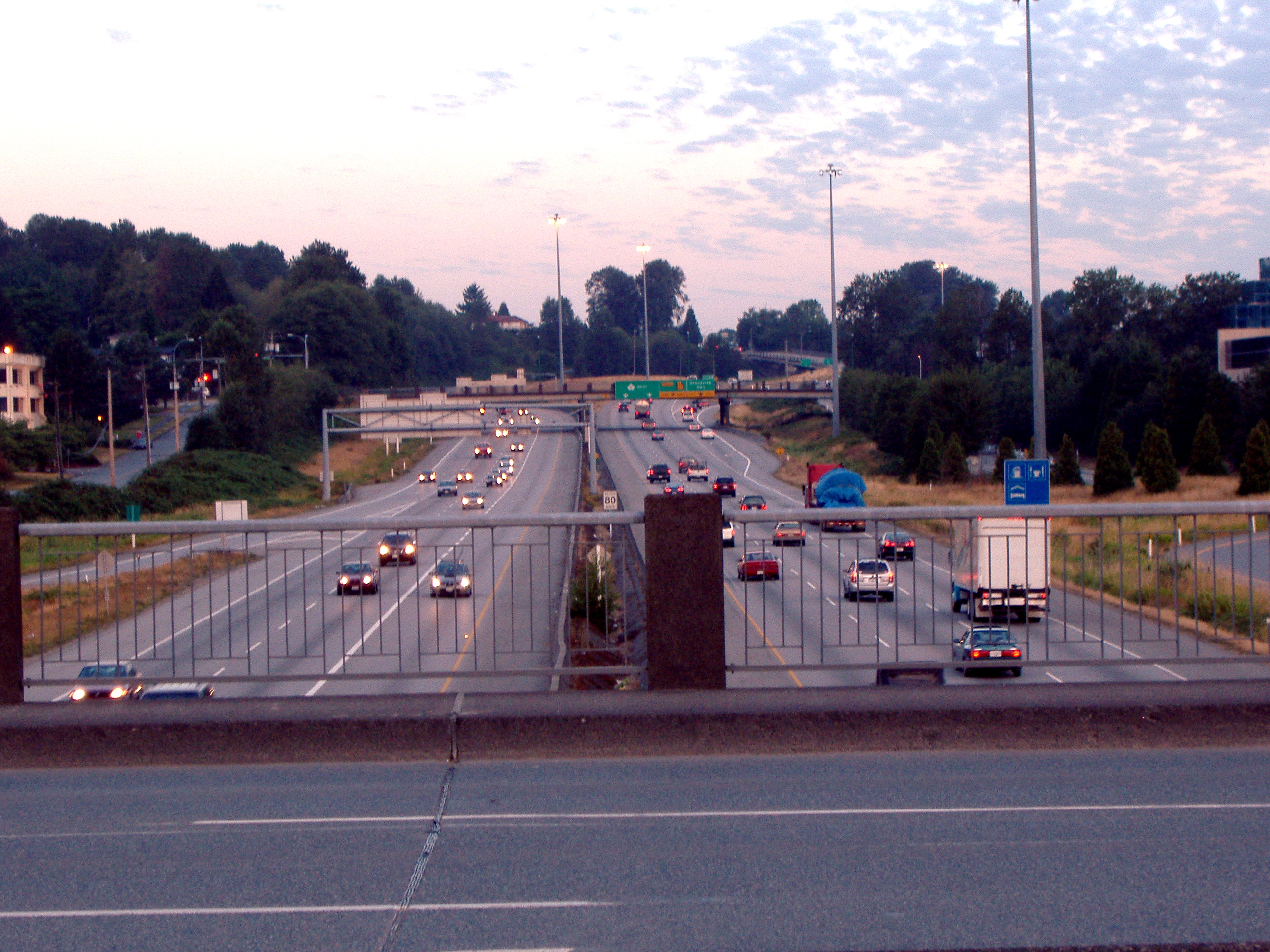
The Washington State Route 25 from the south, first community south of the border is North Port. Approx. 500 meters after the border reached the highway at the King George VI Provincial Park on the southwest corner of the small community of Paterson is located. The highway runs north and true just before Rossland on Highway 3B. For the next 10 km and a double award comes with two highway designations, the highway leads through the communities Warfield and Trail. In the Trail Highway disconnect. Highway 22 follows further north along the valley of the Columbia River, while Highway 3B leads in double award with Highway 22A east. The community of Genelle is still striped in the course, to Highway 22 then in Castlegar in the Highway 3, the Crowsnest Highway, opens.


