British Columbia Highway 37A
Template: Infobox trunk road / maintenance / CA / BC -H
Regional Director strictness:
- Kitimat - Stikine
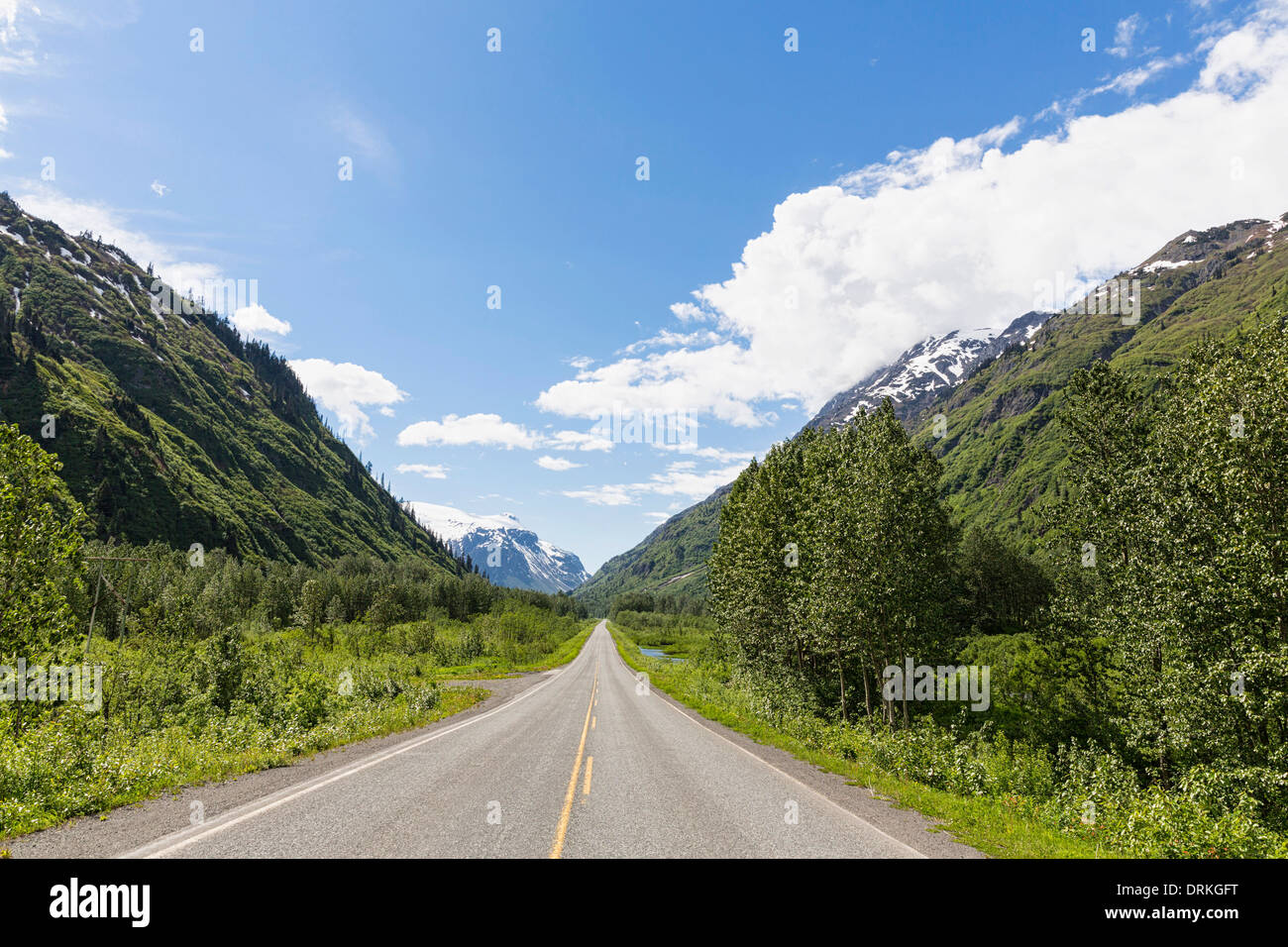
The British Columbia Highway 37A is a branch line of the British Columbia Highway 37 in the hinterland of the Coast Mountains of British Columbia, which runs from Highway 37 to Stewart and from there to Alaska. The Highway 37A officially leads the name Stewart Highway. On some maps also, not official, name Glacier Highway is used.
Route
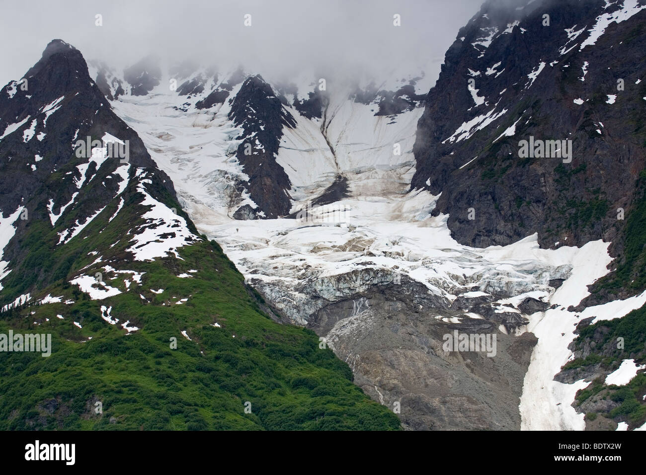
The Stewart Highway runs through the Boundary Ranges and first on the north shore of Lake Meziadin along in the direction of the valley of Strohn Creek. The narrow valley of this stream is ( 2729 m), bounded on the north by the glaciated massif of Mount Pattullo in the south of the Cambria Icefield limiting peaks. At kilometer 16 and 17 there are two viewpoints from which from hanging glaciers of both massifs are visible.
Shortly after crossing the Strohn the Bear Creek Glacier is visible for the first time, which, coming from the Cambria Icefield, ends here in a strewn with floating icebergs lake. The Lake arises from the Bear River, which has to be crossed twice as far as Stewart also. At kilometer 32, the valley of the Bear River, now through which the highway runs to Stewart expands. At kilometer 36, the road enters the short but despite its impressive Bear River Canyon.
The valley widens and releases an outlook for the end of the Portland Channel, here straight running road follows the course of a former railway line past the Ward -pass cemetery at kilometer 51 The bridge over the Bear River at kilometer 58 forms the city limits Stewart, after another six miles up the limit is reached the state of Alaska.
Salmon Glacier Road
The Salmon Glacier Road is a now significant only for tourism continuation of the Stewart Highway. Originally it was to supply the mines in the valleys of the Salmon River and the Cascade River and the upper Bowser River. (Late June - early October) Today, only the part up to the Summit View Point during the summer months is being serviced.
The road offers 14 stops of tourist interest, a leader in English is available at the tourist office in Stewart and in stores in Hyder. The first two of these breakpoints are still on Highway 37A (Downtown Stewart and the border with the state of Alaska ). The following points of tourist interest are located in Alaska:
The following milestones are back in British Columbia, after the limit is passed around at kilometer 20.5:
The road continues to the 1984 discontinued Granduc mine and the snout of the Glacier Berendon, this section will no longer regularly maintained on the task of mine.
Along the Salmon Glacier Road there are no supply options.


