Chandauli district
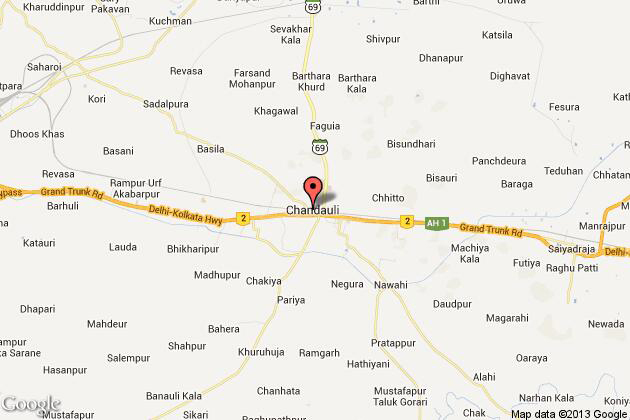
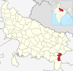
The district Chandauli (Hindi: चंदौली जिला ) is a district of the Indian state of Uttar Pradesh. Administrative center is the eponymous city Chandauli, the largest city is Mughalsarai.
Geography
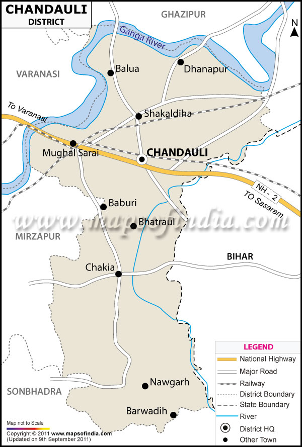
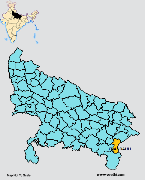
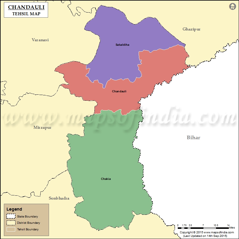
The district Chandauli is located in eastern Uttar Pradesh on the border of the neighboring Federal States of Bihar and belongs to Varanasi Division. Neighboring districts are in the south Sonbhadra, Mirzapur and Varanasi in the West, Ghazipur in the north ( all Uttar Pradesh ) and Kaimur ( Bihar ) in the east.
The area of the district Chandauli is 2,541 square kilometers. The Ganges, India 's largest power and sacred river of the Hindus, forms the northern boundary of the district. The northern part of the district area is part of the flat and intensively farmed Gangetic Plain, to the south, the terrain rises towards the Vindhya Plateau and presents itself as a forested hill country dar.
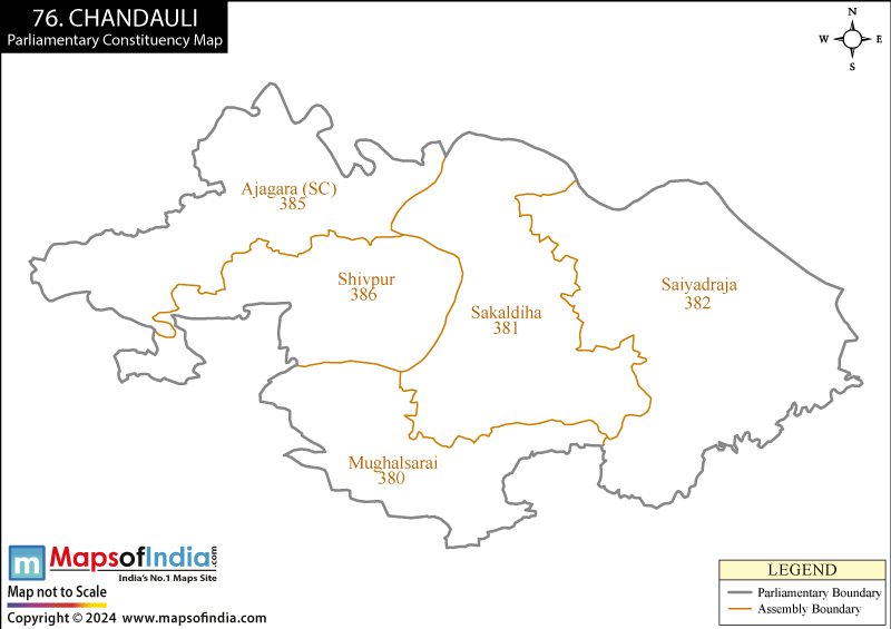
The district Chandauli is divided into three Tehsils Chandauli, Sakaldeeha and Chakiya
History
The area of present-day district Chandauli came at the end of the 18th century under British rule. During the British colonial period, the northern half of present-day district area was part of the district of Benares (Varanasi ), the southern part belonged to the estates of the Maharaja of Benares, and was initially part of the district of Mirzapur. 1911 were the possessions of the Maharajas the status of the principality Benares. This consisted of two enclaves west and southeast of the city of Varanasi, which was in the eastern area of the present-day district Chandauli. After Indian independence the princely state of Benares was incorporated into the district of Varanasi. 1997 Chandauli solved as a separate district from the district of Varanasi.
Population
According to the Indian census of 2011, the district Chandauli has 1,952,756 inhabitants. Between 2001 and 2011 the population grew by 19 percent, slightly slower than in Uttar Pradesh Central ( 20.1 percent). The population density is 768 inhabitants per square kilometer somewhat below the average of the state ( 829 inhabitants per square kilometer). (22 Uttar Pradesh is the average percent ) Only twelve percent of the population live in cities: Here, the district is very rural. The literacy rate is 71 percent above the average of Uttar Pradesh (68 percent), but slightly below the all-India average ( 73 percent).
The population of the district according to the 2001 census, Hindus represent 90 percent, a large majority. There is also a Muslim minority of ten percent.


