Freienfeld
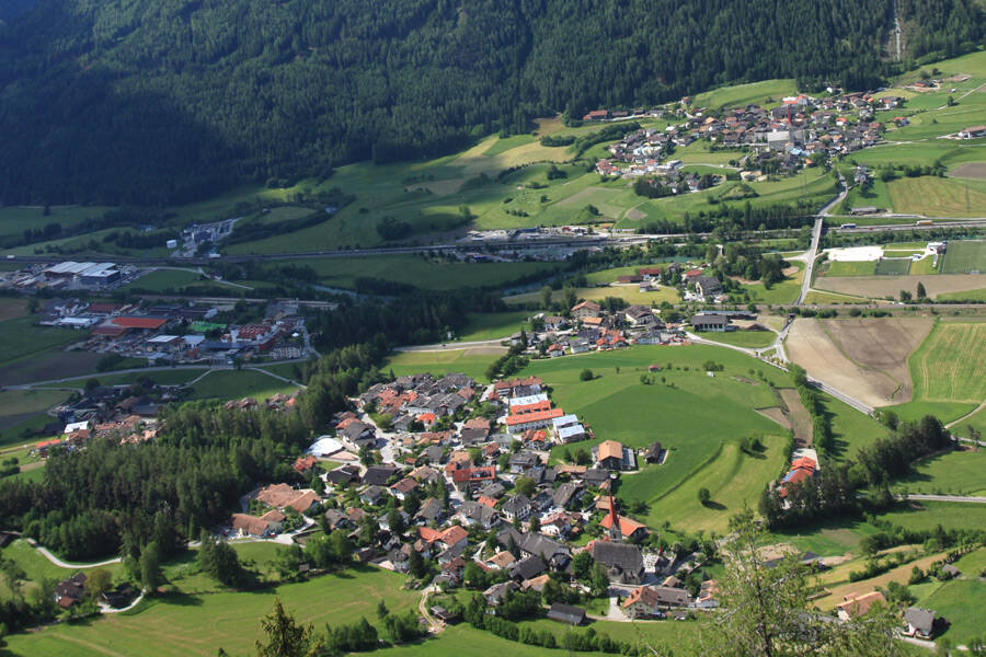
Free field (Italian Campo di Trens ) is a municipality with 2679 inhabitants ( 31 December 2012) near Sterzing in South Tyrol Wipptal (Italy).
Geography
The municipality is located in the free field Wipptal in the north of South Tyrol, south-east of the nearby town of Sterzing. It covers an area of 95.29 km ² in the Eisack in northwest-southeast direction through which the valley floor as well as in the surrounding mountains.
The largest villages are situated at the foot of the valley slopes and alluvial fans: On the orographic left side of the valley you will find the capital of the municipality, Trens (930-1020 m asl, also called free-field ), and just southeast of the snout ( 900-960 m), just across from trens on the orographic right side of the valley Stilfes ( 940-990 m). There are also in the valley for several other community groups: In the northwest, near the mouth regions of the Pfitschtal Bach and Ridnauner Bach in the Eisack on Sterzinger Moos, these are Sprechenstein (940 m, left the Eisack ) and Elzenbaum ( 940-980 m, the right of the eisack ), roughly in the center of the township Valgenäun (1010-1100 m, left) and low- Ried and Pfulters (950-1000 m, both on the right). To the southeast, the Wipptal narrowed to Sachsenklemme and community Fortezza increasingly back and offers no major settlement more space.
In the northeast, the municipality's territory stretches in the Zillertal Alps from inside. On a hillside terrace above the snout is the fraction Flans (1270-1300 m ) on the south-facing slopes of a side valley branching off in Mules are the farms of Ritzail (up to about 1500 m ). In the north, a ridge demarcates the Wipptal to Pfitscher Valley (municipality Pfitsch ), to the east another mountain to the valley Valler (municipality Mühlbach ). At the meeting point of the two combs free field reaches its highest point on the plane pit peak ( 2990 m). In the southwest of the Wipptal in free field is framed by the Sarntaler Alps. Among the most significant peaks here are the Tatschspitze ( 2626 m ) in the south of the municipality and the Zinseler ( 2422 m) on the western border with Racines. Between the two mountains of the mountain range ( 2211 m) drops to Penser yoke, a transition to the Sarn Valley. On the southern slopes of the Penser yoke rising from Wipptal side valley eventually find the farms, the fraction Egg (1450-1580 m) space.
History
Stilfes and Trens are first mentioned in 827/828 and jaw 990. The communities Stilfes and Trens formed in 1820, the community Mauls 1838. The community free field created in 1928 by government decree merging the municipalities Stilfes, Mauls and Trens. 1939, the municipality had 2,468 inhabitants, of which 206 Italians.
Climate
According to Rehder (1965 ) can be assigned to the Air free field in the valleys with the central European montane type. At higher altitudes, it goes into the subalpine type, and finally, above the tree line in the alpine type.
Temperature
The annual average temperature is between 7 and 8 degrees C. The coldest month is January with an average temperature of about -3 degrees. The warmest month is July with an average temperature of 17 degrees C.
Rainfall
In free field, the average annual rainfall is 750 mm. Such rainfall is quite favorable for agriculture, since the water demand for grassland is given, on average, Allerd not at all times. Rainfall is not evenly distributed over the year. The maximum rainfall falls on the summer (June, July, August) and the least rainfall, however, fall in winter ( January and February). In winter, the precipitation usually falls as snow. In Eisacktal in free field is about 3-4 months a snow cover of at least 1 cm.
Climate in the mountains
With increasing altitude, the rainfall increases and because of the lower temperatures, the snow lasts longer. The most important climate element that varies with altitude, is the temperature. While the average temperature is in the valley bottom 7-8 degrees C, it is in the treeline only about 2 degrees C in the range of the highest peaks in the municipality even only -5 degrees C. At this altitude there is the snow line, above the course of the year more snow falls than can melt away. Since the municipality of free field does not extend beyond the snow line, there is today no glaciers.
Attractions
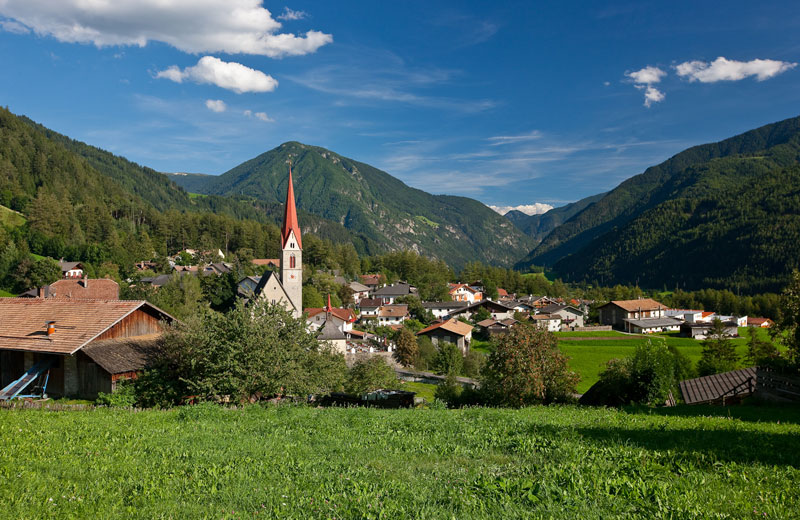
- Pilgrimage Church of Maria Trens ( late Gothic, from 1498, the second most important place of pilgrimage in South Tyrol by Maria White Stone )
- Reifenstein Castle (12 cent.) With chapel of St. Zeno of 1330
- Castle Talk stone ( worth seeing Erasmus Chapel )
- Castle Welfenstein ( 1895, 1918 serious fire )
- Parish church in Stilfes with ceiling paintings by Christoph Brandstätter
- St. Valentine's Church in Valgenäun
- St Oswald 's Church in mouth ( 1329 )


