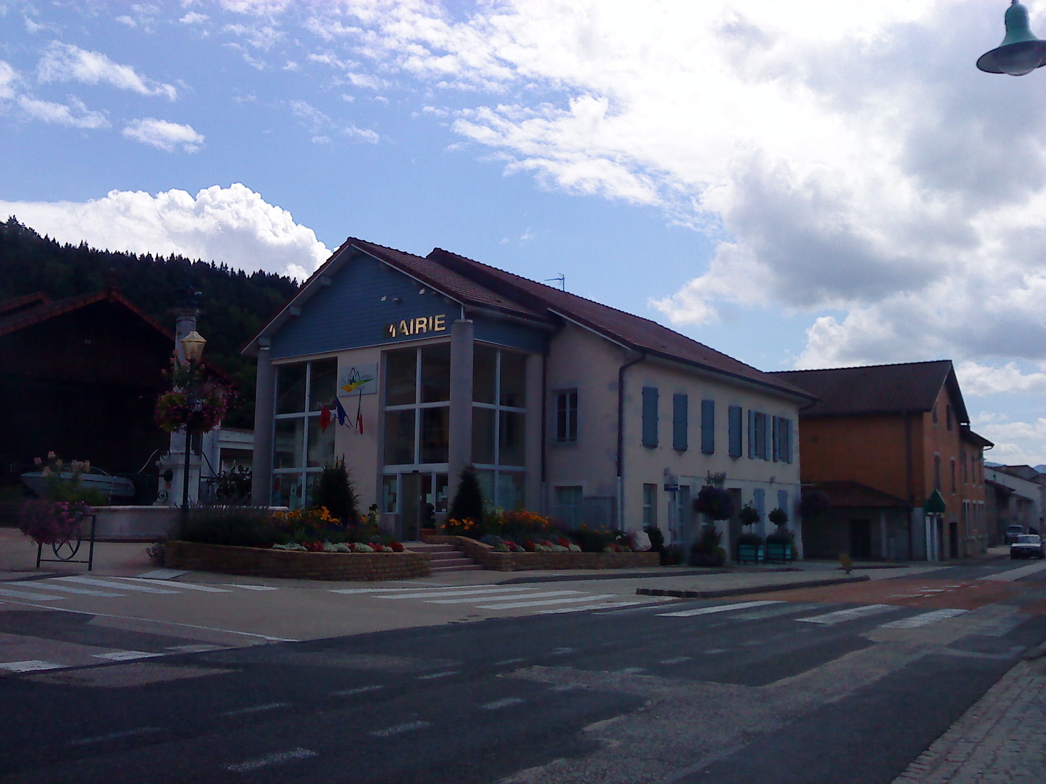
Saint-Martin-du-Frêne
Saint -Martin- du- Frêne is a commune in the French department of Ain, in the Rhône -Alpes.
Geography
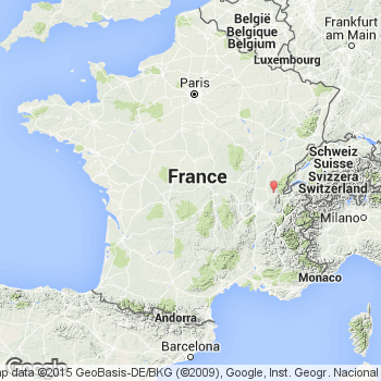
Saint -Martin- du- Frêne is located on 515 m above sea level. Level, about 15 kilometers southwest of the city Oyonnax (air line). The village is located in the northern Bugey, on the eastern edge of a broad valley in the Jura, at the foot of the Montagne de Chamoise.
The area of 19.14 km ² municipal area includes a portion of the southern French Jura. The central part is occupied by the 1.5 km wide, oriented in north-south direction valley of Oignin that forms a syncline the Jura folds and is drained north to the Ain. To the north, towards this valley floor opens to the level of Brion. In the west it is flanked by the hilly terrain of the Montagne de Collégiard ( 665 m above sea level. M. ). East of the valley, the Montagne de Chamoise, which forms a high plateau rises. This in turn increases eastward gradually and culminates on the sloping steeply to the east Felskrete Les Monts d' Ain. Here it is with 1127 m above sea. M. reached the highest point of Saint -Martin- du- Frêne. The plateau of Chamoise is bounded on the south by the deep erosion valley of Combe de Vau, is also part of the entire catchment area of the municipality. To the south it connects to the plateau of Chevillard.
At Saint -Martin- du- Frêne include the hamlet Chamoise (700 m above sea level. M. ) on the high plateau of the Montagne de Chamoise as well as some farm groups and individual farms. Neighboring municipalities of Saint -Martin- du- Frêne are Brion and port in the north, and Nantua Brénod in the east, Chevillard and Condamine in the south and Maillat and Peyriat in the West.
History
Various scattered findings indicate that the municipality of Saint -Martin- du- Frêne was already inhabited during the Gallo- Roman period. To 760 the abbots of the monastery Nantua founded a small priory in Saint -Martin. This was destroyed during the invasions of the Hungarians, so the abbots represented the Priory under the protection of the lords of Coligny. The function of the patron later became part of the family Thoire -Villars.
Saint -Martin- du- Frêne is mentioned in a document in 1144 under the Latinized name Sanctus Martinus de Fraxino. Over time, the spelling on Sanctus Martines del Fraino ( 1234) to Saint -Martin- du- Fresne changed. The latter is still considered local notation eg on street signs, on the municipal website and in regional newspapers in use.
As a result of a dispute between the Thoire -Villars and the Counts of Savoy concerning the powers of the area took the latter a village in 1330, but gave it some time later the Thoire -Villars back. With a charter of freedom the residents were granted certain rights in 1355. Saint -Martin- du- Frêne now formed a Kastlanei. Half of the property was in 1374 but sold to the Maillat family, which remained until the French Revolution owner of this Part. The Treaty of Lyon Saint -Martin- du- Frêne arrived in 1601 to France.
Attractions
The three-nave parish church of Saint -Martin- du- Frêne was built from 1868 to 1873 and has an octagonal bell tower. From the former Château des Terreaux, which was built in 1248 under the family Thoire -Villars, about a 5 m high round tower is only obtained with mighty walls.
Population
With 1093 inhabitants (as of 1 January 2011) Saint -Martin- du- Frêne one of the smaller communities of the department of Ain. After the population had decreased in the first half of the 20th century (1901 785 persons were still counted ), a significant population increase has been recorded since the early 1960s again.
Economy and infrastructure
Saint -Martin- du- Frêne was until well into the 20th century a predominantly coined by agriculture and forestry village. In addition, there are now a number of companies of small and medium industry, including companies in the plastics processing, the hanger manufacturing and electronic industries. Meanwhile, the village has also changed into a residential community. Many workers are also commuters who engage in the larger towns in the vicinity of their work.
The village region has a very well developed. It lies on the secondary road D1084, which runs from Bellegarde- sur -Valserine by the cluse de Nantua to Pont- d'Ain. Further road links exist with Hauteville- Lompnes and Vieu - d'Izenave. The nearest links to the A40 motorway, which crosses the municipality and here forms the junction with the A404 to Oyonnax, located at a distance of about one kilometer to the border with the municipality of Maillat.


