Champs-Romain
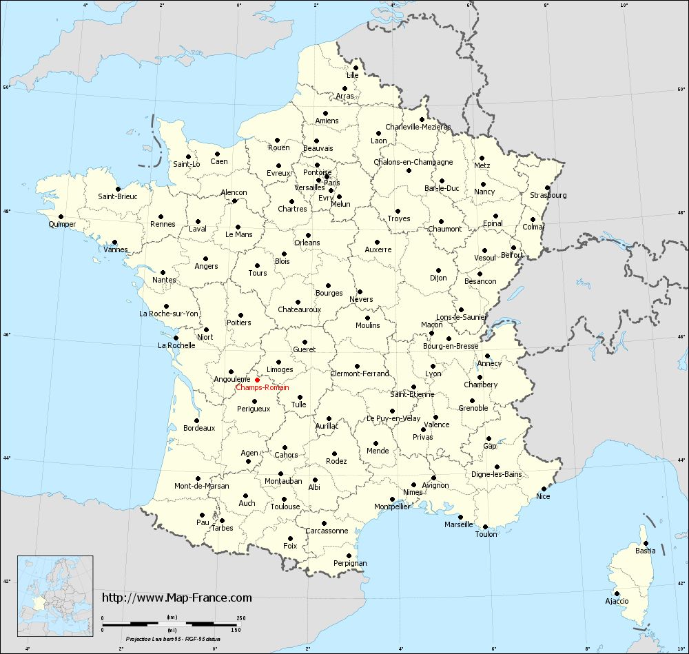
Champs- Romain, Occitan Los Champs e Romanh, is a commune with 310 inhabitants (as of January 1, 2011 ) in the north of the Dordogne in the Aquitaine region. It belongs to the district Nontron and the canton of Saint- Pardoux- la -Rivière. It also forms part of the Périgord -Limousin Regional Natural Park.
Etymology
The nordokzitanische champs, derived from the Latin campus, means fields. Romanh emerged from the Gallo-Roman personal names Romanius.
Geography
Champs -Romain is located nine kilometers east of Nontron and five kilometers north-northeast of Saint- Pardoux- la -Rivière (air line).
The community is surrounded by the following neighboring communities:
- Saint- Saud- Lacoussière in the northeast and east.
- Saint- Pardoux- la -Rivière in the south and southwest.
- Savignac -de- Nontron in the West.
- Abjat -sur- Bandiat in the northwest.
The municipal area of Champs -Romain next to the town center include the following hamlets, farms, a mill and a palace:
Au Gravoux (Les Gravoux ), Bellevue, board, Château le Verdoyer, Croix de Mâlemorts, La Bruyère, La Chabaudie, La couriers, La Croix, La Forge, La Pinière, La Robertie La Valade, Le Claud -Durand, Le Coderc, Le Communal de Bord, Le Grand Bois, Le Jolivet, Le Petit Bois, Le Piélut, Le Terme, Le Verdoyer, Le Verthamont, Les Brunies Charbonnières, Les Grands Clauds, Les Juilleries, Les Pinquelies, Les Placiaux, Marmeix, Moulin de la Valade, Paugnac, Pierres Blanches, Plaisance, Puyhardy, Romain and Verlaine.
The southeast boundary of the municipal area of Champs -Romain is formed by the current flowing in a narrow gorge to the southwest Dronne, which has cut around 100 meters deep in the bedrock. Her right tributary, the Ruisseau de Lachenaud, defines the south-western border to Saint- Pardoux- la -Rivière. In it opens the light coming from the northeast Ruisseau le Manet, the central drains the municipality about. The current flowing from north to south Ruisseau la Malencourie, also a right tributary of the Dronne, marks the eastern border to Saint- Saud- Lacoussière.
The topographically lowest point of the municipality is located 155 meters above the sea on the River Dronne in the extreme south, the highest point at 344 meters north of Verlaine in the Northeast.
Geology
The municipal area of Champs -Romain is completely on the metamorphic, the Variscan basement of the north-western Massif Central. The western part is built up of Neoproterozoic paragneisses, which are replaced in the eastern part of structurally deeper mica schists of mica schist unit Parautochthonen. Most likely, it is likely this is a significant abnormal contact act (ceiling thrust ). The original contact but is completely covered by the intrusive Saint- Mathieu- leucogranite, which also underlies most of the eastern municipal area. The mica schist remained therefore only receive than smaller islands (with Les Pinquelies and Paugnac ) in the leucogranite. In the lower reaches of the Ruisseau le Manet Ordovician Leptynite are embedded in the paragneiss. The paragneiss are highly metamorphosed and sometimes have achieved the degree of anatexis to recognize smaller Granodioritkörpern (west of Les Juilleries ) that are associated with the Westphal from the originating Piégut -Pluviers granodiorite; the actual granodiorite is barely touched upon Au Gravoux in the northwest. The leucogranite penetrated his hand on the end of the Upper Carboniferous along the north - south oriented contact zone; He was interspersed in its cool down period of mikrogranitischen and lamprophyrischen vein swarms. The microgranite transition band sweeps north-northwest south-southeast -. Also, some quartz and Pegmatitgänge are present.
The leucogranite is locally enriched in the vicinity of the north-south trending Lamprophyrgänge of uranium ( at Au Gravoux ) and includes, for example, at La Robertie the minerals autunite and Chalkolith. The deposits were not considered to be mineable. Tourmaline ( schorl ) can be found in the paragneiss.
History
The community was called until 1875 only Romain, derived from the same district. There the today valid double name was chosen.
Demographics
Mayor
Mayor of Champs -Romain is since 2008, the non-party postal workers Guy Lastère.
Attractions
- The Saut du Chalard rapids in the Dronne below Romain.
- The Château le Verdoyer with camping.
Transport links
The village is crossed by the D 83, which branches off behind Saint- Saud- Lacoussière of the D leading to the Nontron 79 from the south-west to Saint -Pardoux- la -Rivière. Along the northwest border of the municipality runs the D 85 of Châlus (Haute -Vienne ) to Nontron. In the D 85 lead coming from the east, the D 79 from Saint- Saud- Lacoussière and in Au Gravoux from the southeast, the D 96, a branching off from the D 79 cross-connect after Abjat -sur- Bandiat and on to Piégut -Pluviers.


