Baar, Rhineland-Palatinate
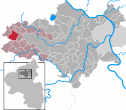
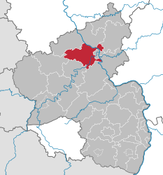
Baar is a municipality in the district of Mayen -Koblenz in Rhineland- Palatinate. It belongs to the municipality Vordereifel, which has its administrative headquarters in Mayen.
Geography
Baar is located near the Nürburgring. The highest point of the municipality is the 652.1 -meter-high mountain Reuter.
Districts are angels, free Lingen, Lower Baar, Oberbaar, Büchel, means Baar and Wanderath.
History
Until the late 18th century, today the municipality of Baar belonging villages belonged to the county Virneburg.
Policy
Parish council
The local council in Baar consists of twelve council members, who were elected at the municipal election held on 7 June 2009 of personalized proportional representation, and the honorary mayor as chairman. The twelve seats in the City Council are distributed among three groups of voters.
Coat of arms
The coat of arms description reads: " Split of gold and silver by a bent- red top, in a fan shape seven golden ears, right, a red diamond, left a floating red cross ".
Mining
In the district Freilingen were mined lead. However, the pit Bendisberg provided only low-value ores, whose work-up was complicated and expensive. Therefore, the degradation was worth only temporary.
Structures
The parish church of St. Valerius is in the district Wanderath. The original building dates from the 13th century, the extensions and changes at the beginning of the 15th century, neo-Gothic expansion from 1896 to 1897 experienced by the architect Lambert of Fisenne and 1921-1922 according to the plans of the diocesan architect Heinrich Renard.
The chapel in the district Oberbaar was built in 1773 and dedicated to St. Donatus. The Baroque interior dates from the time of its construction.
See also: List of cultural monuments in Baar


