Étalans
Etalans is a commune in the French department Doubs in the Franche -Comté.
Geography
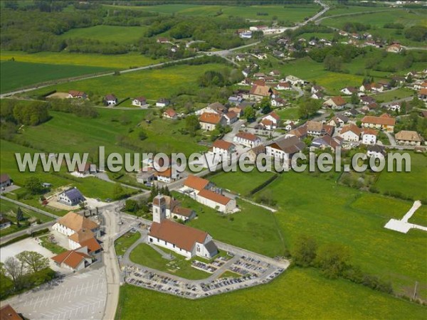
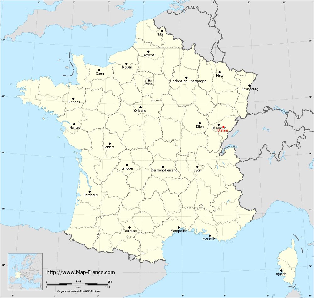
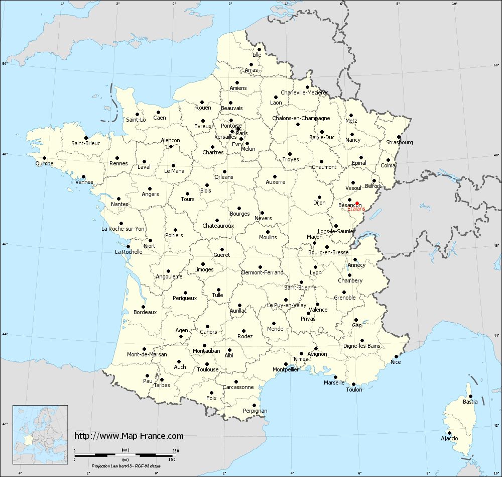
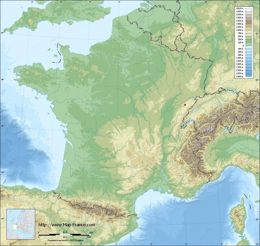
Etalans is located on 589 m above sea level, 6 km west of Valdahon and about 21 km east-southeast of the city of Besançon ( straight line ). The village is located in the Jura, in the midst of the vast plateau of Valdahon, called the first plateau of the Jura, in the headwaters of Ruisseau de la Brême, northeast of the valley system of the Loue.
The area of 23.95 km ² municipal area includes a portion of the French Jura. The entire area is occupied by only very weakly in relief plateau Valdahon, which is on average 600 m. It is partly consisted of arable and meadow land, partly by forest and rises to the southeast slightly. In the extreme south-east, on the hill at Oupans is because achieved with 638 m the highest elevation of Etalans. South of the village stems from the Ruisseau de la Brême, the slightly deepened by a Talniederung in the plateau flows west and feeds its water of Loue. Otherwise, the plateau has no above-ground rivers, because the rainwater seeps into the karst underground.
In the northern and northeastern part of municipality, larger forests including the Bois d' Emblery and the Forêt de la Verrière -du -Gros Bois stretch. In the north, the area extends almost to the foot of the ridge Côte d' Anroz. In the northeast, the municipality area approximately 3 km ² with share Truppenübungsplatz Valdahon, which occupies an area of 35 km ² in total.
To Etalans addition to the actual site include various hamlets and isolated farms, which are widely scattered over the plateau:
- Bermotte ( 599 m) north of the village on the plateau
- L' ejus (590 m ) in a trough northeast of the village
- Oupans (615 m ) on a slightly inclined to the west slope southeast of the village
Neighboring communities of Etalans are Verrières -du Gros - Bois in the north, Fallerans in the east, Guyans - Durnes in the south and Charbonnières- les- Sapins and L' Hôpital du Gros Bois in the West.
History
Is first mentioned Etalans in 1049 under the name Estalanus. The area around the village was placed under different dominations in the Middle Ages, namely the Lords of Montfaucon and the noble family of Durnes. Even the Archbishop of Besançon had here land on which it was probably built in 1260 and a lock. Also around this time Etalans was awarded certain liberties. During the Thirty Years War, the castle and the village in 1639 by troops of Duke Bernhard were looted and destroyed of Saxe- Weimar. Together with the Franche -Comté Etalans came with the Peace of Nijmegen in 1678 to France. Since 1998 Etalans is a member of the 44- villages municipal association Communauté de communes du Pays de Pierre Fontaine - Vercel.
By January 1, 2009 there was a change in the membership of the district municipality. So far, belonging to the district Besançon, all municipalities in the canton came to the district Pontarlier.
Attractions
The church of Saint Nicolas was built in the 13th century and was told after numerous smaller and larger rearrangements. Obtained from the time it was built, the characteristic portal area is in Gothic styles. The bell tower was rebuilt in 1705; also from the 18th century come the aisles, while the present chancel was rebuilt in 1834. The church has a remarkable gilded wooden statue of the Virgin with Child ( 18th century). From the former castle of the 13th century only a few foundations are visible. In the village are farmhouses are preserved in the characteristic style of the Franche -Comté from the 17th to 19th centuries.
Among the natural attractions of the north- west of the village located Chasm of Poudrey counts with the largest accessible for visitors cave hall in France, which has a height of about 60 meters.
Population
With 1180 inhabitants ( 1 January 2011) Etalans one of the smaller communities of the department of Doubs. After the population had decreased in the first half of the 20th century (1886 729 people were still counting ), was since the early 1960s, a total re- recorded significant population growth.
Economy and infrastructure
Etalans was until well into the 20th century a predominantly by agriculture (crops, orchards and livestock ) and forestry embossed village. In addition, there are now a number of companies of small businesses, including businesses in construction, woodworking, mechanical workshops, garages, a cheese farm and retail stores. Meanwhile, the village has also changed into a residential community. Many workers are commuters who do their work in the larger towns in the environment or in the agglomeration Besançon.
The village has good transport links. It is located near the main road N57, which runs from Besancon to Pontarlier. In Etalans the junction of the main road D461 is via Valdahon and Morteau to La Chaux -de-Fonds. The village is relieved by a local bypass from through traffic. Further road links exist with Ornans, Baume- les -Dames and Durnes. Etalans has a station on the railway line from Besancon to Le Locle.


