Blackdown-Tableland-Nationalpark
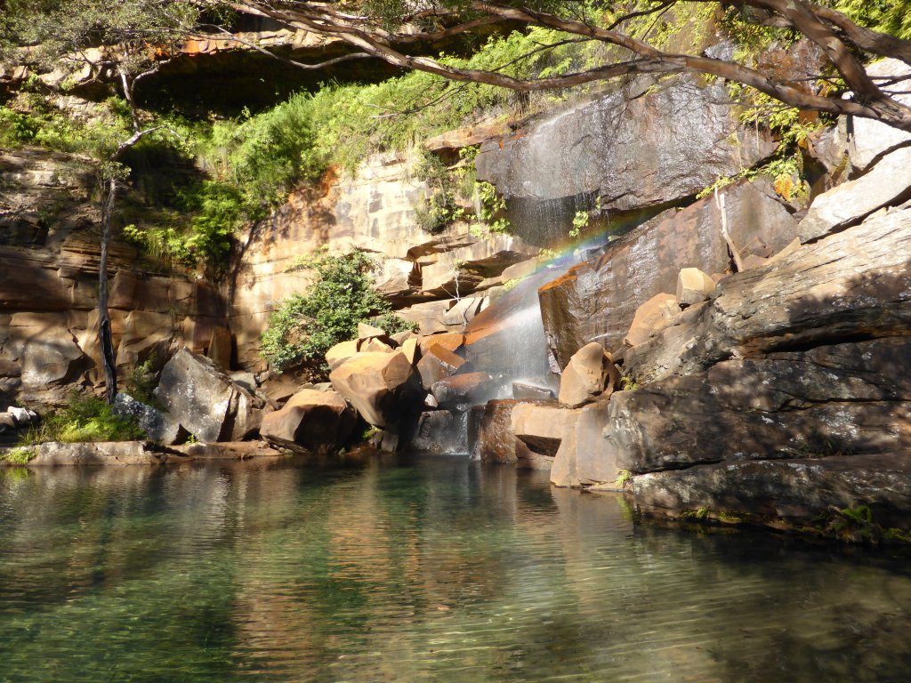
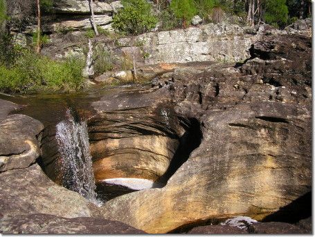
The Blackdown Tableland National Park (English: Blackdown Tableland National Park ) is a national park in the eastern part of the Australian state of Queensland. The mountainous tableland is a unique landscape with canyons, waterfalls, and the most varied vegetation.
The national park is the traditional settlement area of the Aboriginesstammes Ghungalu. Your petroglyphs are found in the park.
Location
It is located 576 km northwest of Brisbane.
Landforms
The Blackdown Tableland is a 600 m high-altitude sandstone plateau that rises abruptly from the plain. The Stony Creek and the Mimosa Creek have dug into ravines where waterfalls can also be admired. The area is part of the sandstone belt in central Queensland.
The plateau is located where the Shotover Range, the Expedition Range and the Dawson Range collide. Traces of wrinkles can be found in the peaks and valleys between the mountains.
Climate and vegetation
The plateau has a temperate local climate than the surrounding plains. So you can find light woods, heaths, ferns and a wide variety of plants and animals, some of them endemic. In parts of eastern table-land, the annual rainfall is 1,500 mm. Occasionally, the plateau is shrouded in dense fog.
Facilities
Camping is permitted at the campground in Munall. There are trails to viewpoints, heritage sites and streams. A picnic area is located on the Yaddamen Dhina Lookout.
Driveway
The entrance to the National Park was before the construction of the road by the Queensland Forest Department in 1969 quite difficult. The entrance to the park turns to 11 km before Dingo from the Capricorn Highway from.


